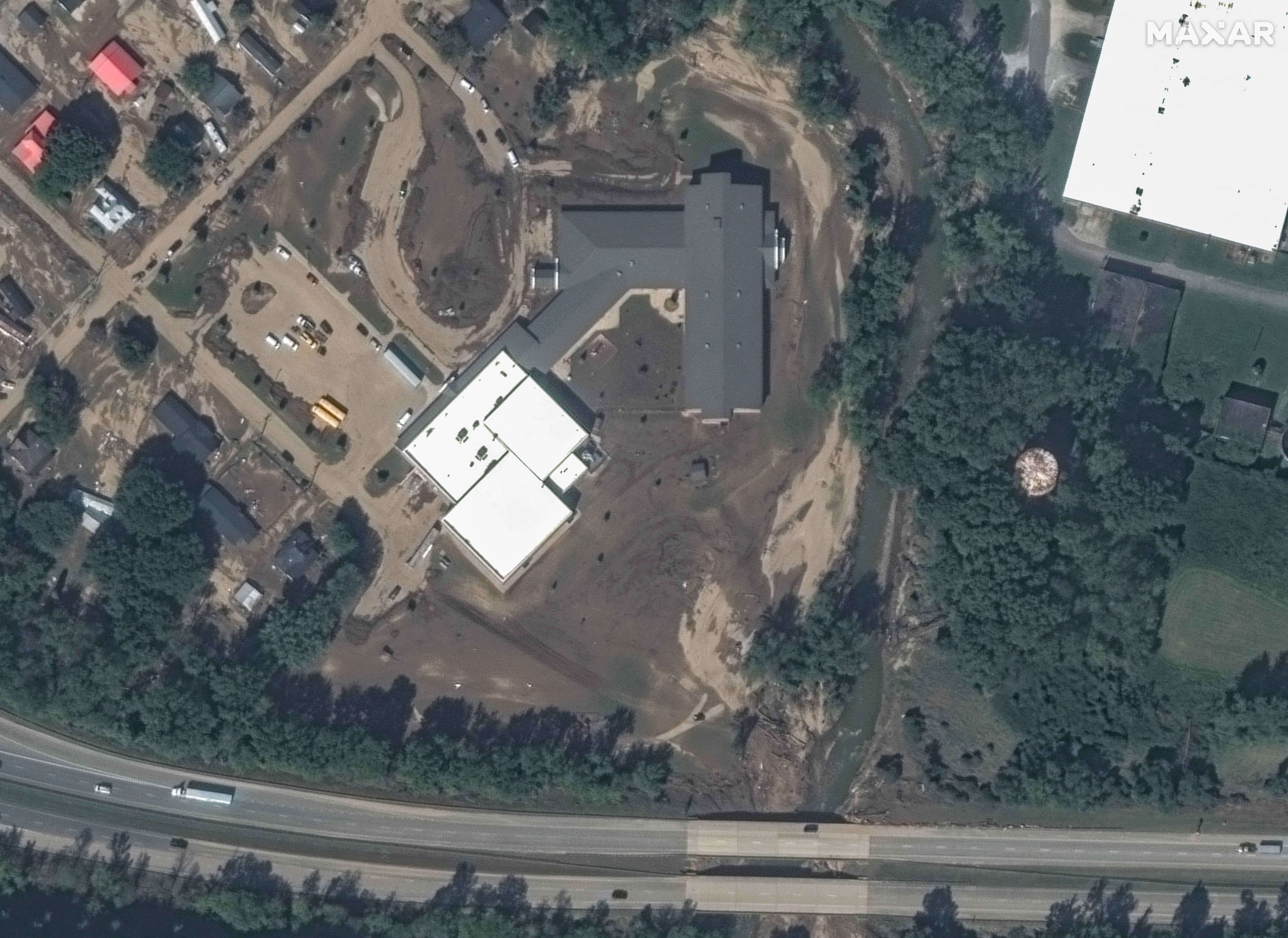
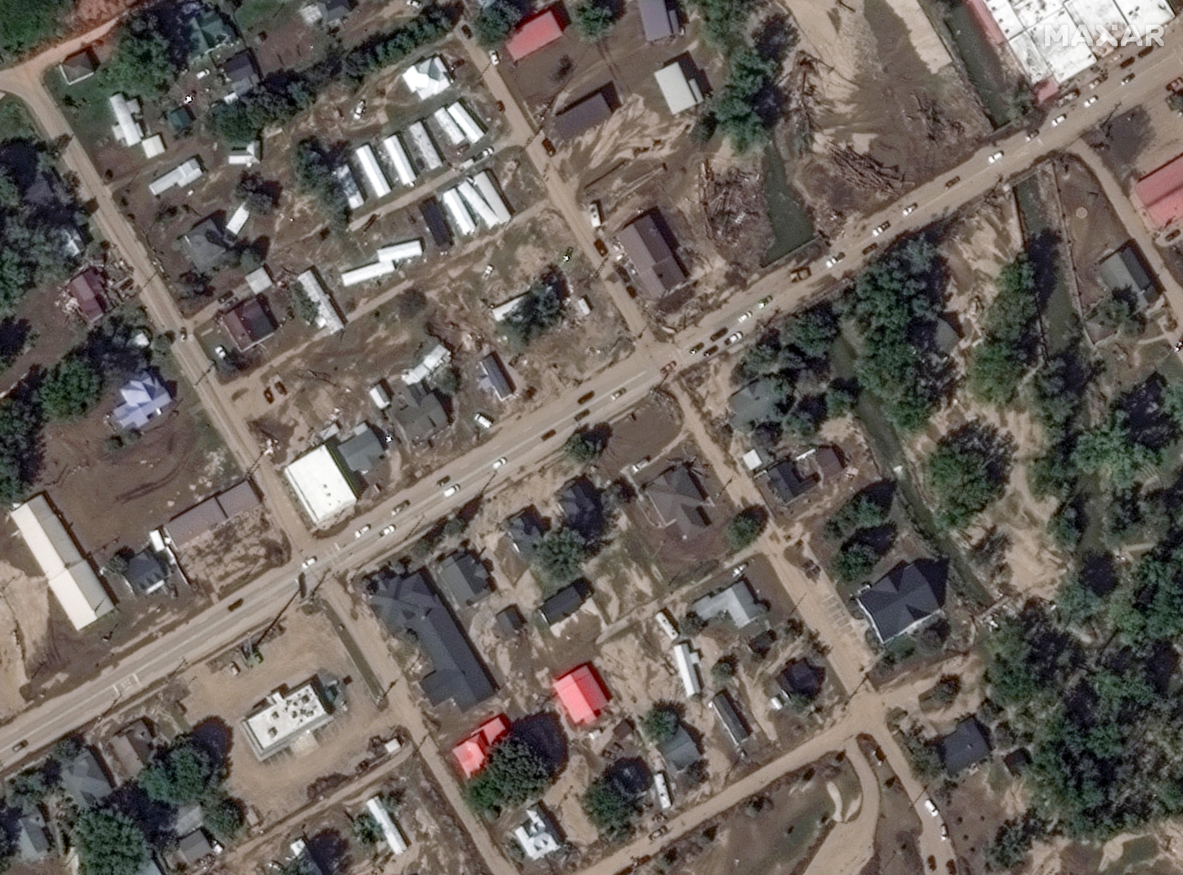
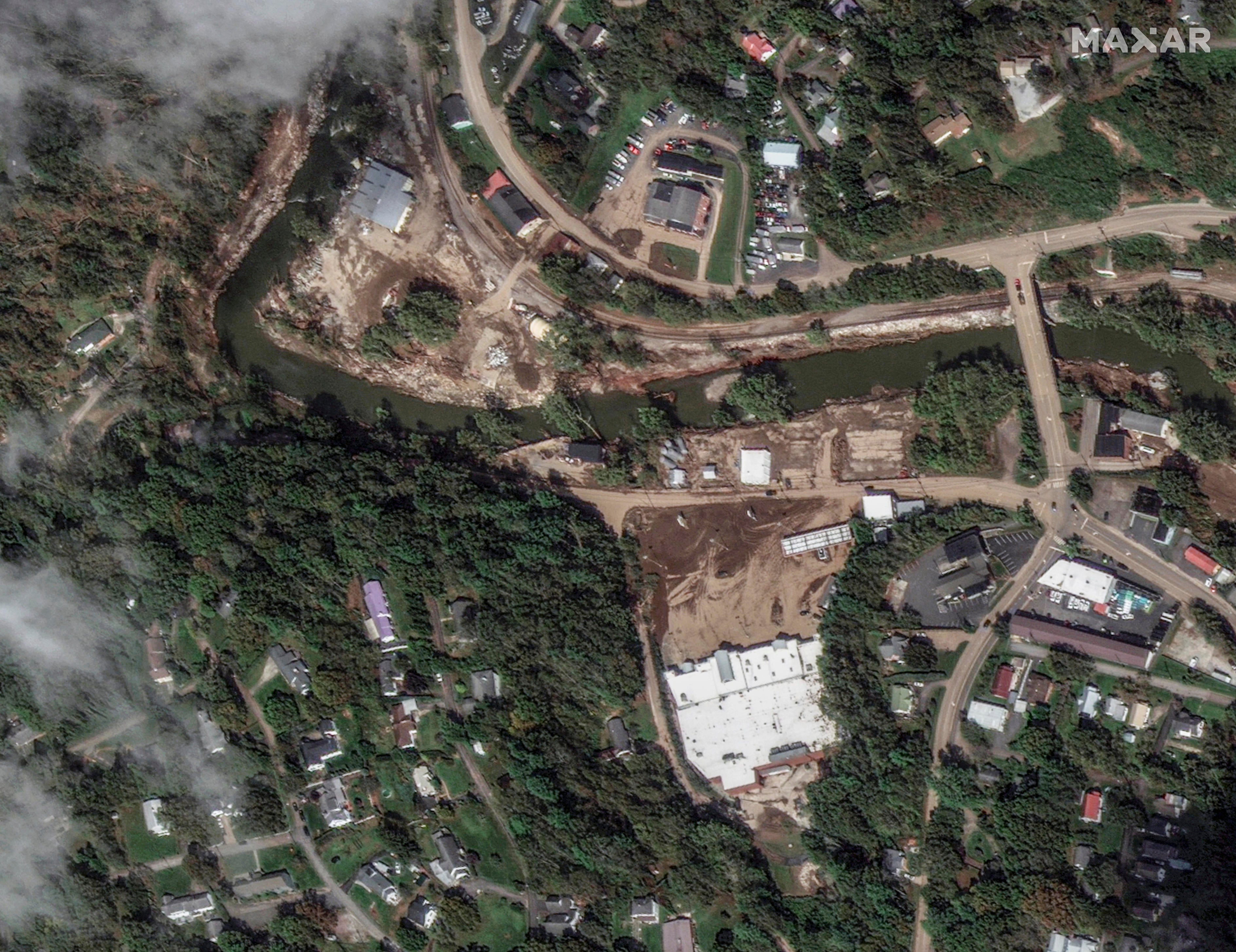
A week after Hurricane Helene tore through the U.S. Southeast and devastated western North Carolina with heavy rains and severe flooding, satellite images are showing the extent of the damage.
Officials have previously said hundreds of roads in western North Carolina have been inaccessible because of the storm’s effects, hindering rescue efforts. Residents reported seeing water as high as the roofs of some homes.
At least 225 people have been confirmed dead, and officials say they expect the death toll to continue to rise as recovery efforts continue.
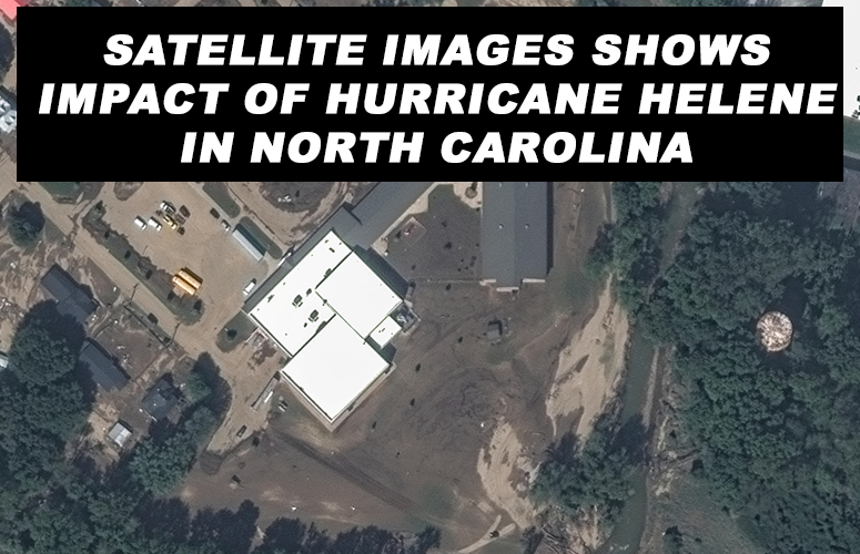
Satellite images show washed-out streets and buildings. One image shows mud and debris near Old Fort Elementary School in Old Fort, North Carolina.

Another satellite image from the town shows empty space where homes once were, and downed trees and power lines.

In the town of Spruce Pine, the local North Toe River overflowed, flooding the region that is also the source of quartz used in microchips, according to NPR.


